Toolkit to add GPS and coordinate conversion functionality to software (GPS API)
transdatpro coordinate transformation and datum shifts with highest accuracy
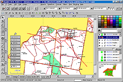
software for creation of custom gps maps compatible with garmin gps units.
It allows you to view and organize your digital photo images in mobile phone.
dragsens - gps position of a dragged sensor - transformation and tracking.
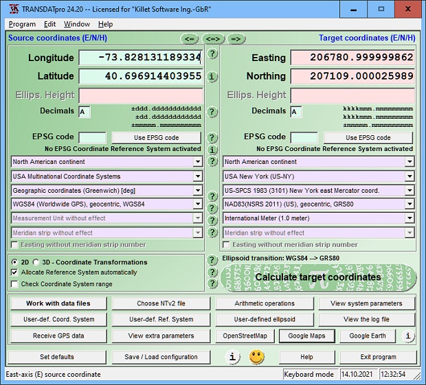
transdatpro coordinate transformation and datum shifts with highest accuracy

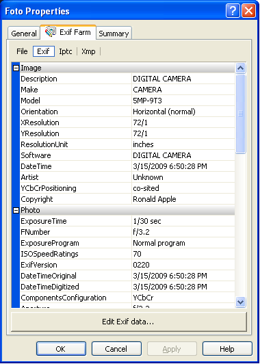
view and edit all the known exif meta-tags of cameras photos.
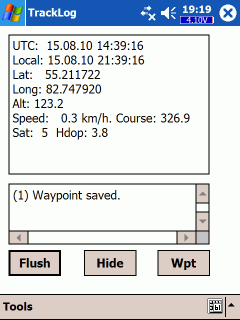
GPS log-maker. Software creates track and route files.
GPS track to forward and backward routes converter
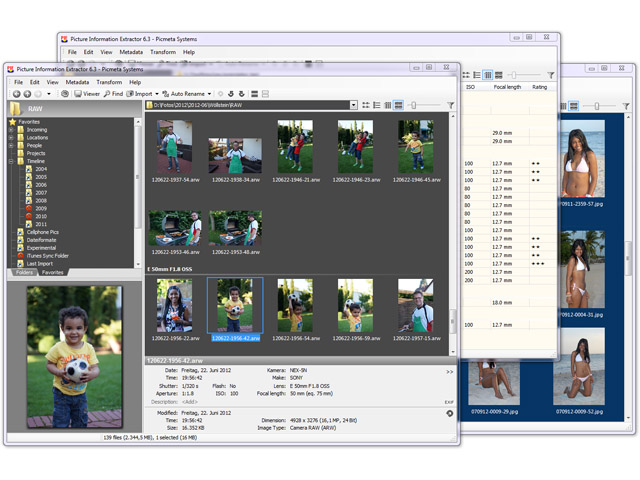
picture information extractor - import, rename, redate, geotag - all formats

Add geolocation to your photos in 1 click your gps track log or gps device.
EXIF/IPTC/XMP data viewer, EXIF data editor are integrated into Windows Explorer